Construction and Infrastructure Services

Mapping and Planning

Our drone services for construction and infrastructure projects provide a range of solutions that can reduce costs and increase productivity for smarter project management.

By efficiently mapping and tracking construction work progress, we use aerial imagery to map, measure, analyze, and report project progress in real-time. Our four key features include pre-construction, construction, post-construction, and inspection services.

Pattern overlay 2

Efficient Site Surveys with Drone Mapping

Pre-Construction

Simplify site surveys with drone mapping and capture images and data easily with your mobile device. Create precise 2D maps and 3D models that can be uploaded to the cloud for instant viewing anywhere in the world. Our drone services offer time and cost savings, allowing you to get results faster than ever before.

Our solutions for construction are costless compared to traditional survey methods, with the same high accuracy you can rely on. By providing greater performance monitoring, our data is available faster and can be shared immediately with project stakeholders anywhere in the world for better communication and collaboration. Measure your stockpile and get centimeter-accurate 3D models and measure volumes, distances, and single points.

Earthworks and Construction Planning

Construction

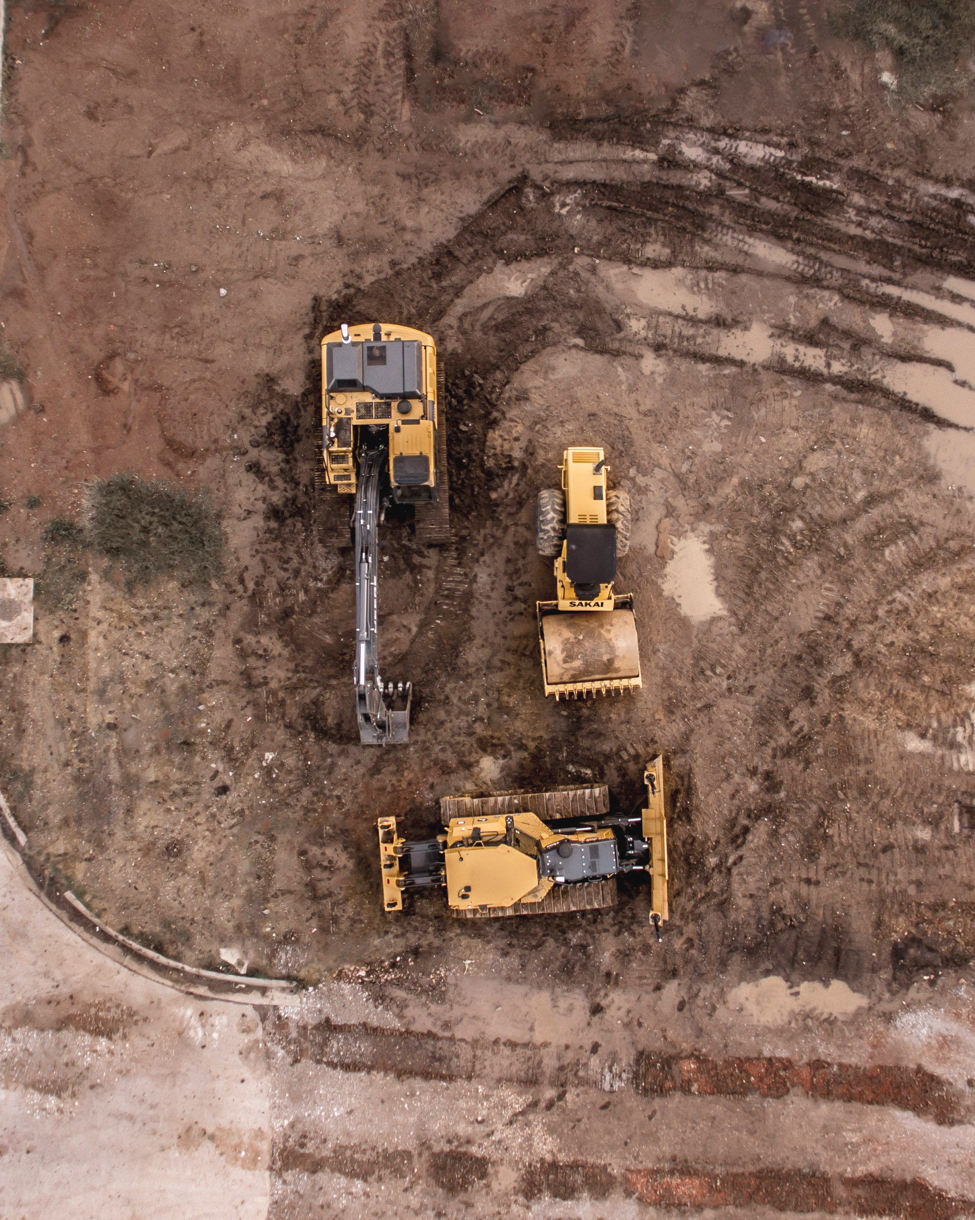
Reduce the cost and time of earthworks using drone surveying. Our drone services allow you to perform surveys faster and at a fraction of the cost while capturing millions of detailed points for topographic survey, visual records of excavation, stockpile measurement, cut and fill calculation, accurate haul cost estimate, and civil engineering work.

Our services also help you accelerate the construction project planning and design process, simplifying pre-construction site planning and scheduling with 3D models from drone images. This supports the design process and helps engineering teams build the project virtually first, saving time in project completion.

Advanced Drone Solutions

Post-Construction

xTerra offers comprehensive visual documentation of your entire job site using aerial and on-site imagery. From initial pursuit and bid to project completion, our drone services provide your entire team with access to detailed documentation of every stage of the project. Our innovative approach to site documentation through aerial and on-site data capture saves time, improves communication, and reduces costs.

Our solution enables you to capture interior and exterior data, as well as aerial imagery, resulting in a complete digital twin of your job site. Through in-depth analysis, projects can be executed on time, on budget, and safely.

Inspection Services

Our drone inspection services provide efficient and safe building and infrastructure inspections with highly-detailed 3D data. This data can be used for work estimation, infrastructure performance, building maintenance, and construction project tracking.

We also offer reality capture services to create accurate digital replicas of construction sites for pre-construction planning and design, QA/QC, progress tracking, and client communication.

Customized Services

At our company, we understand that every project is unique, which is why we offer a range of custom services to fit your specific needs. Whether you need a custom solution for data processing, specialized drone equipment, or a tailored approach to project management, our team is here to help.

We will work closely with you to develop a plan that meets your project's unique requirements and delivers the results you need. Contact us today to discuss your project and learn more about our custom services.